First Alert: Scattered storms move through East Tennessee
Tracking downpours across East Tennessee this morning leading to flooding. Use extra caution traveling around this morning.
KNOXVILLE, Tenn. (WVLT) - Heavy rain early this morning lead to some localized flooding. Avoid any flooded roads this morning, and be prepared for additional rounds of rainfall today.
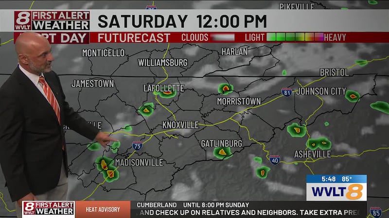
FIRST ALERT WEATHER DAY THROUGH THIS MORNING: Multiple rounds of scattered showers and storms will continue through the morning and early afternoon hours. There is a low-medium chance that a cluster of storms could be strong to severe, with gusty winds as the primary threat.
Additional flooding is also possible, especially where training has occurred from repeated storms over the same location. A Flood Watch is in place through Sunday morning.
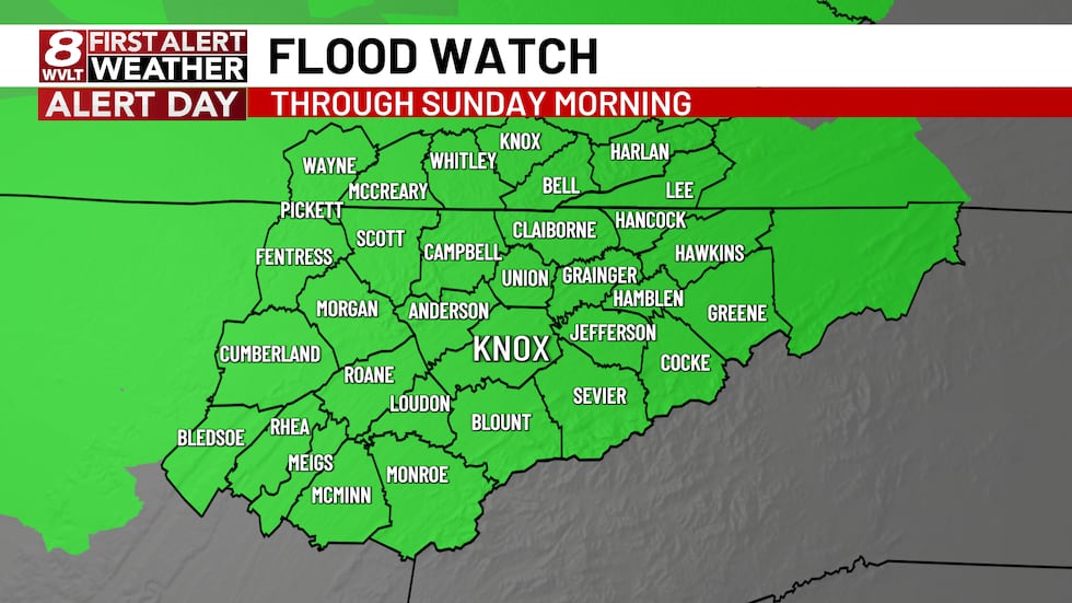
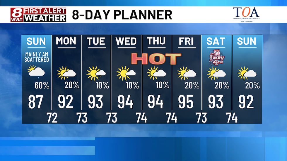
Rain will gradually taper around lunchtime, becoming isolated the remainder of the day. Temperatures will be warm and muggy with highs in the upper 80s.
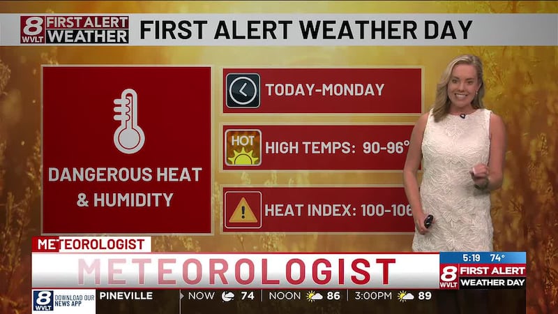
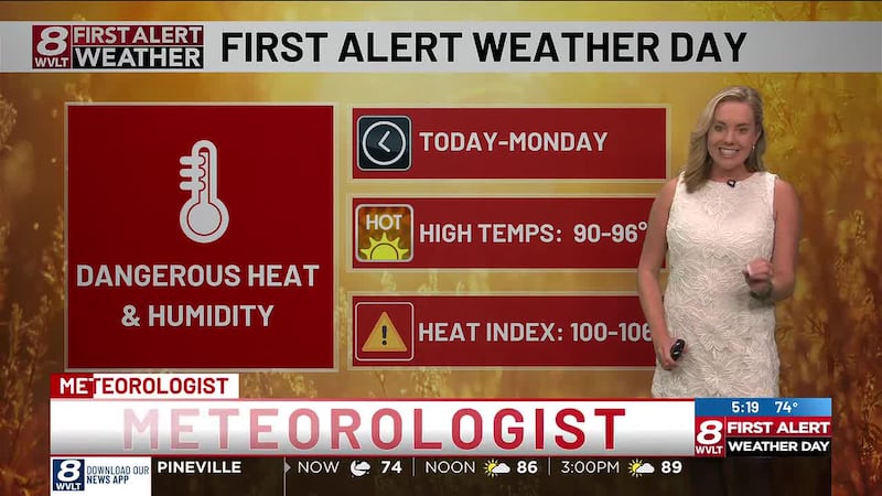
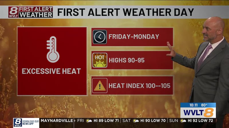
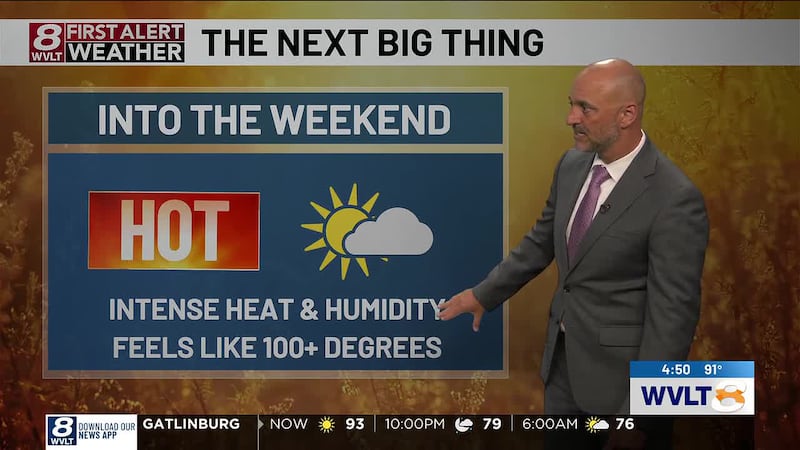
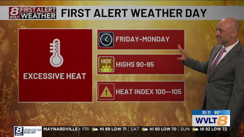
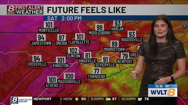
TURNING UP THE HEAT NEXT WEEK: A dome of high pressure will build early next week bringing only isolated rain chances and a string of 90 degree days. Highs climb to the low to mid 90s each day with heat indices near 100 degrees.
For life-saving weather alerts, customized messages on conditions and forecasts, and videos detailing upcoming weather events, download the WVLT First Alert Weather app for iPhone or Android. Have weather pictures or videos? Share them here.

Copyright 2026 WVLT. All rights reserved.