First Alert: Tracking dangerous heat ahead
Meteorologist Sydney Sullivan has a look at how hot temps go and how it may impact outdoor plans.
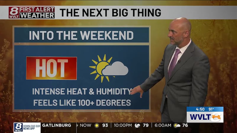
KNOXVILLE, Tenn. (WVLT) - Rain chances go down slightly as heat and humidity takes charge through early next week.
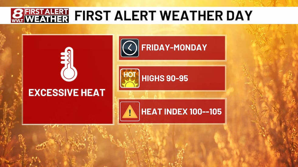
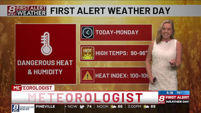
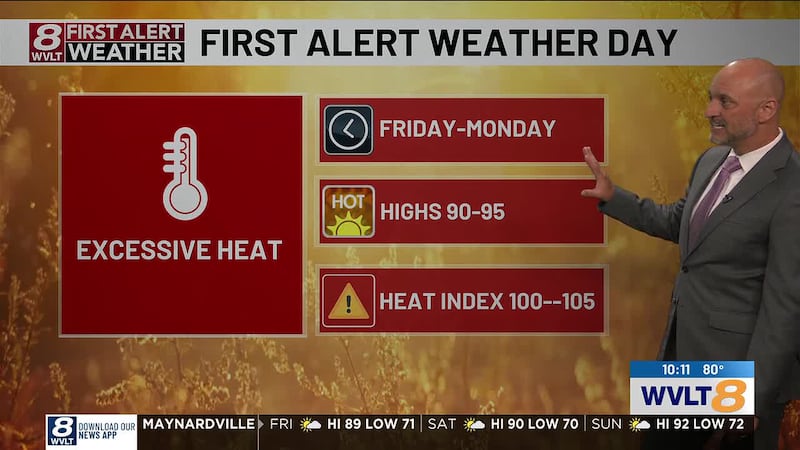
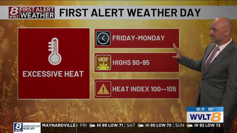
FIRST ALERT WEATHER DAYS FRIDAY - MONDAY
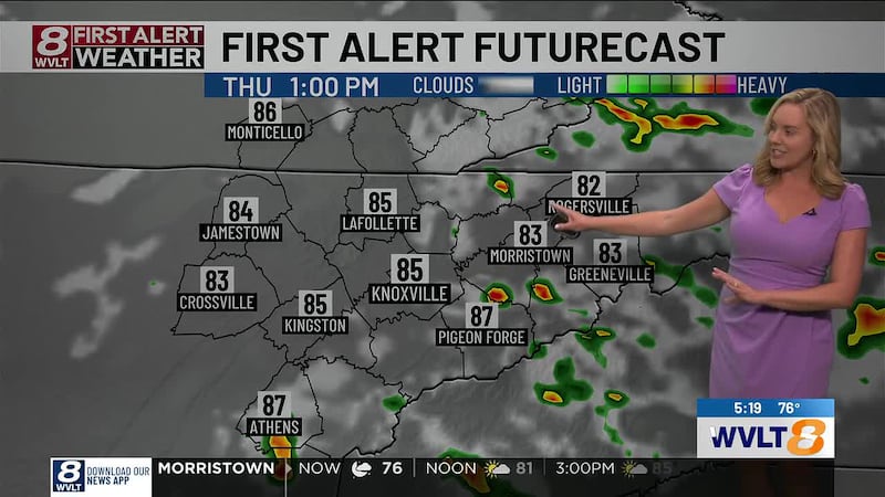
FRIDAY: Partly cloudy skies to start the day, with hit-or-miss downpours developing around lunchtime and continuing into the afternoon or early evening. Highs will climb into the low to mid 90s, but it will feel closer to 100 degrees at times.
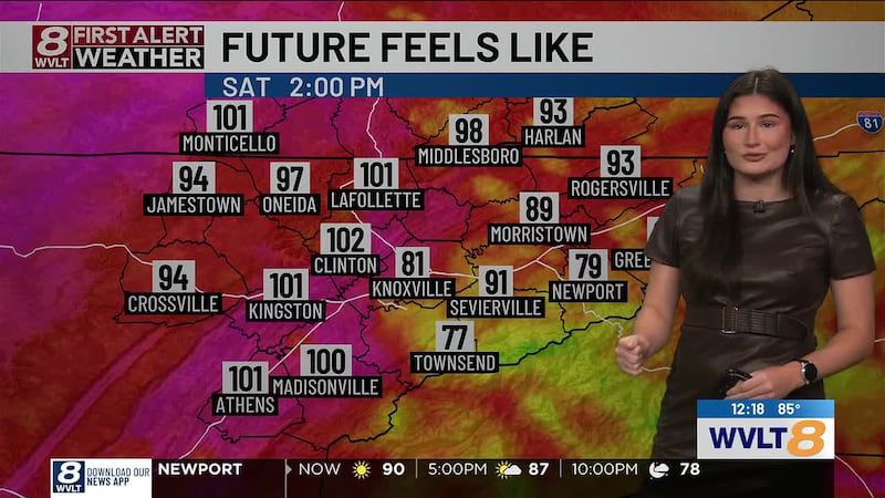
SATURDAY: Extremely hot and steamy with highs in the mid 90s. An isolated afternoon downpour or storm is possible through around 7 PM. Heat index values will climb to 100-105 degrees in Valley areas, including Knoxville. Overnight lows will only fall into the mid 70s.
SUNDAY: The unseasonably hot weather continues with highs in the mid 90s and heat index values approaching 105 degrees in spots. Rain chances are extremely low, with most areas staying dry.
MONDAY: The extremely hot and steamy pattern sticks around to start the new week. Highs will reach the low to mid 90s with overnight lows only dropping into the low to mid 70s.
For life-saving weather alerts, customized messages on conditions and forecasts, and videos detailing upcoming weather events, download the WVLT First Alert Weather app for iPhone or Android. Have weather pictures or videos? Share them here.
Copyright 2026 WVLT. All rights reserved.